
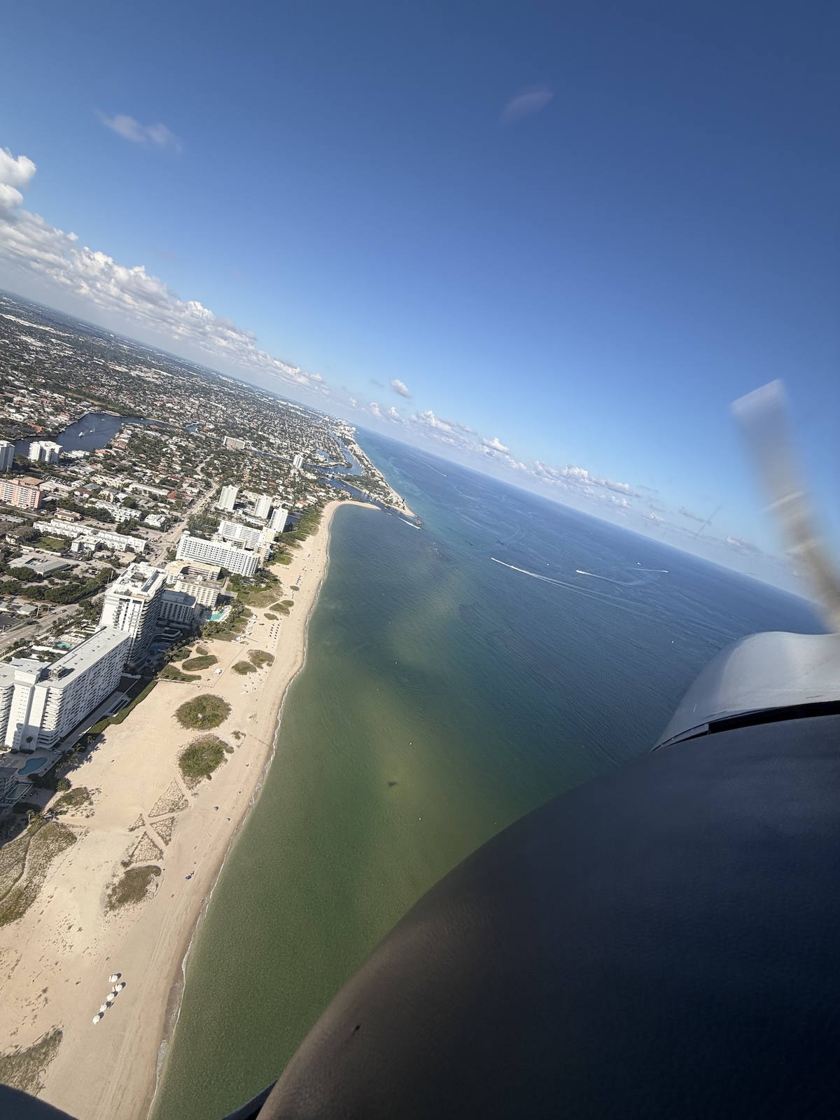
Tropical Weather Decisions for South Florida PPL Students: Storm Avoidance
Mastering Summer Skies: Smart Choices in Tropical Weather
Flying a training Cessna in South Florida on a sticky afternoon can go from calm to chaotic fast. One moment the sky is bright and hazy, the next you see tall white towers boiling up in the distance and hear the first crackle of radio static. For a new private pilot student, that change can feel confusing and stressful.
This is why tropical weather decision-making matters so much, even if you are just planning a short local flight. Daily buildups, sea-breeze storms, and fast-changing conditions are simply part of life here. In this article, we will talk through how to spot thunderstorm trouble early, how to work with ATC when things get busy, and how to set clear go/no-go triggers that keep you safe during flight training in South Florida.
Reading Tropical Skies Before You Start the Engine
Early fall in South Florida still behaves a lot like late summer. The ocean is warm, the air is loaded with moisture, and sea breezes from each coast often meet over the interior. That meeting line is like a spark point for afternoon thunderstorms.
Before you ever touch the starter, build a simple preflight weather habit with your instructor. A basic workflow might include:
- Checking METARs and TAFs along your route and alternates
- Reviewing radar and satellite for current storms and cloud trends
- Looking at area forecasts and any convective outlooks
- Scanning NOTAMs for nearby airspace or airport issues
As you go through this, pay attention to red flags for tropical convection, such as:
- TAF lines with TEMPO TS, CB, or VCTS around your planned time
- Towering cumulus already forming by late morning near your route
- Signs of high instability, such as quick vertical cloud growth
- Reports of dropping pressure or gusty, shifting surface winds
Then walk outside and actually look up. Do the clouds look flat and friendly, or tall and angry? Does the sky match the forecast story you just read? That simple comparison builds strong weather instincts over time.
Thunderstorm Avoidance Tactics for New PPL Students
The first rule is simple: do not try to fly through a thunderstorm, ever. In a training Cessna, even the edge of a strong cell can bring severe turbulence, hail, and violent wind shifts. As a general rule, keep at least 20 nautical miles away from strong thunderstorms whenever possible.
In South Florida flight training, some practical avoidance habits include:
- Planning routes that leave room to go around typical storm areas
- Scheduling earlier flights to finish before peak afternoon buildups
- Picking alternates that are closer and in different weather zones
- Turning back early if storms form in front of your path
From the cockpit, learn to read visual danger cues, such as:
- Cloud bases darkening fast and turning ragged
- Curtains of virga or heavy rain pouring from a cloud
- Visible lightning, even if it seems far away
- Sudden bumps, strong wind shifts, or blowing dust near the surface
- More and more radio static, especially on low frequencies
When you see these signs, do not wait for it to get “just a little worse.” Make a small, early change while you still have lots of options.
Using ATC as a Partner When the Weather Turns Dynamic
ATC can be a huge help when tropical weather gets busy, especially while you are still building experience. They can see precipitation on their radar, they hear reports from other pilots, and they know where the worst areas usually form.
Here are smart ways to bring ATC into your plan:
- Ask for flight following on cross-country lessons
- Request real-time weather or ride reports ahead on your route
- Ask for vectors around known storm cells
- Request a hold or diversion before you feel rushed
Simple, clear phraseology works best. Some examples:
- “Miami Approach, Cessna 123AB, request flight following to Naples.”
- “Cessna 123AB, request 20 degrees right for weather.”
- “Approach, Cessna 123AB, student pilot, unable to due to weather, request vectors around the buildup.”
Remember their limits: ATC sees rain, not invisible turbulence, microbursts, or all the fine details inside a cloud. They cannot guarantee a smooth ride and they do not decide if it is safe for your aircraft. That responsibility always stays with the pilot in command, even when you are working closely with a CFI.
Go or No-Go: Building Personal Weather Triggers
“Personal minimums” are your own safer limits, above and beyond what the regulations allow. In a tropical area, especially during the late summer and hurricane season window, new students should keep these limits generous and conservative.
Clear go/no-go rules might include:
- Maximum surface wind and crosswind limits that you and your CFI agree on
- Minimum visibility and ceiling that you require for any lesson
- A set distance you want between your route and any forecast TS or CB
- A personal radar rule, like no strong returns within a certain radius of the route
- Time-of-day cutoffs, such as no departures near typical peak storm hours for solo flights
It also helps to define in-flight “turn back” triggers, for example:
- First visible lightning within a distance you and your instructor choose
- Losing a clear visual horizon due to rain or haze ahead
- Unexpected moderate turbulence that does not ease quickly
- Cell tops building rapidly ahead, even if the base still looks scattered
When any of those rules are met, you do not debate it in the air. You act. Turn around, divert, or land and wait.
Training with Mentors to Build Lasting Weather Judgment
Good weather judgment is not something you pick up from a single lesson. It grows from many small decisions, good debriefs, and honest talks with experienced instructors who know the local patterns.
At a flight school with active South Florida operations, every flight can double as a weather lab. Some helpful habits include:
- Doing quick postflight reviews of radar loops to see how storms moved
- Comparing the preflight forecast to what actually happened during your lesson
- Writing down your personal weather decisions in a simple log and reviewing trends with your CFI
- Planning lessons at different times of day so you see the full range of local patterns
Over time, you learn what an “early storm day” looks like compared to a “slow build, quiet evening” day. You start to feel more confident saying “no” when the picture does not look right, and “yes” when it does.
Frequently Asked Questions
How Close Is Too Close to a Thunderstorm in a Training Cessna?
Aim for at least 20 nautical miles of lateral separation whenever you can, especially with strong tropical storms. In a small training airplane, even the edges can bring rough air, hail, or strong outflow winds that reach well past the visible rain. If you are close enough to feel unsure, you are close enough to turn around.
Can I Rely Only on My Weather App Before a Lesson?
No. Apps are a helpful tool, but they are not enough by themselves. You should combine them with official aviation weather products and a preflight briefing with your instructor, who understands how local tropical patterns usually behave.
What Should I Say to ATC If I Need to Deviate for Weather?
Keep it simple and direct. For example, “Miami Approach, Cessna 123AB, request 20 degrees right for weather.” If you are stressed, add “student pilot” so they know you might need extra help and a little more time.
Are Thunderstorms More Dangerous in South Florida Than Elsewhere?
Thunderstorms follow the same basic physics everywhere, but South Florida storms are often more frequent, taller, and quicker to grow because of the heat and moisture. That mix creates more surprise buildups, so strict thunderstorm avoidance is especially important during flight training in South Florida.
How Do I Build Good Weather Judgment as a New PPL Student?
Start with conservative personal minimums and talk through every go/no-go call with your instructor. After each flight, review what the forecast said, what you saw from the cockpit, and how the weather changed while you were out. With time and guidance, those patterns become much easier to read and you will feel calmer making firm weather decisions.
Start Your South Florida Flight Training Journey With Confidence
If you are ready to turn your aviation goals into real-world skills, our flight training in South Florida gives you a clear, step-by-step path to the cockpit. At Fly Legacy Aviation, we tailor each program to your experience level so you can train efficiently and safely. Reach out through our contact page and we will help you choose the right starting point for your aviation journey.
